Run of '89 - North Boundary
Run of '89 - North Boundary
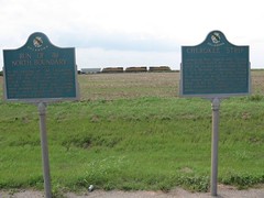
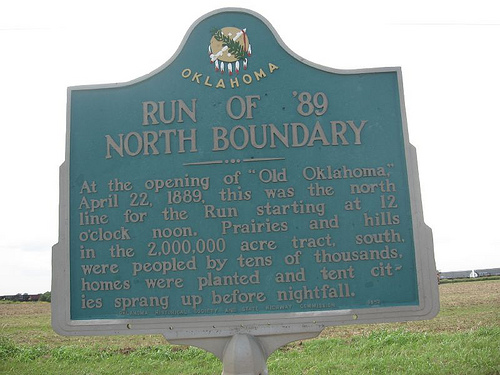
Run Of '89 North Boundary. At the opening of "Old Oklahoma," April 22, 1889, this was the north line for the Run starting at 12 o'clock noon. Prairies and hills in the 2,000,000 acre tract, south, were peopled by tens of thousands, homes were planted and tent cities sprang up before nightfall.
Location
Directions
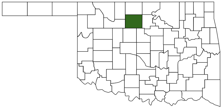
On U.S. Highway 81, near the Garfield-Kingfisher county line south of Bison, Garfield County.*
Regions
Maps
- 36.16400, -97.89012
- OpenStreetMap
- Google Maps
- Bing Maps
- Apple Maps
- MapQuest
Pictures
Notes
More pictures:
Cherokee Strip
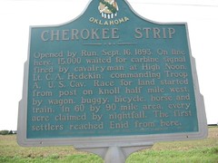
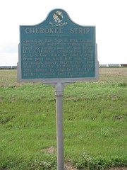
Opened by Run, Sept. 16, 1983. On line here, 15,000 waited for carbine signal fired by cavalryman at High Noon, Lt. C. A. Hedekin, commanding Troop A., U.S. Cav. Race from land started from post on knoll half mile west, by wagon, buggy, bicycle, horse and train. In 60 by 90 mile area, every acre occupied by nightfall. The first settlers reached Enid from here.
Links: * Directions and information from Mark of Heritage, by Muriel H. Wright.

 Garfield County
 Red Carpet Country
 Oklahoma
